
Dr. Hyowon Ban introduces the Metaverse at Spring 2023 Colloquium
On April 24th, Dr. Hyowon Ban treated Geography students and faculty to her colloquium titled Practice of Geography Research and Teaching in the Metaverse. To find out more about this virtual environment that parallels the physical world, please check out Dr. Ban’s PowerPoint presentation.
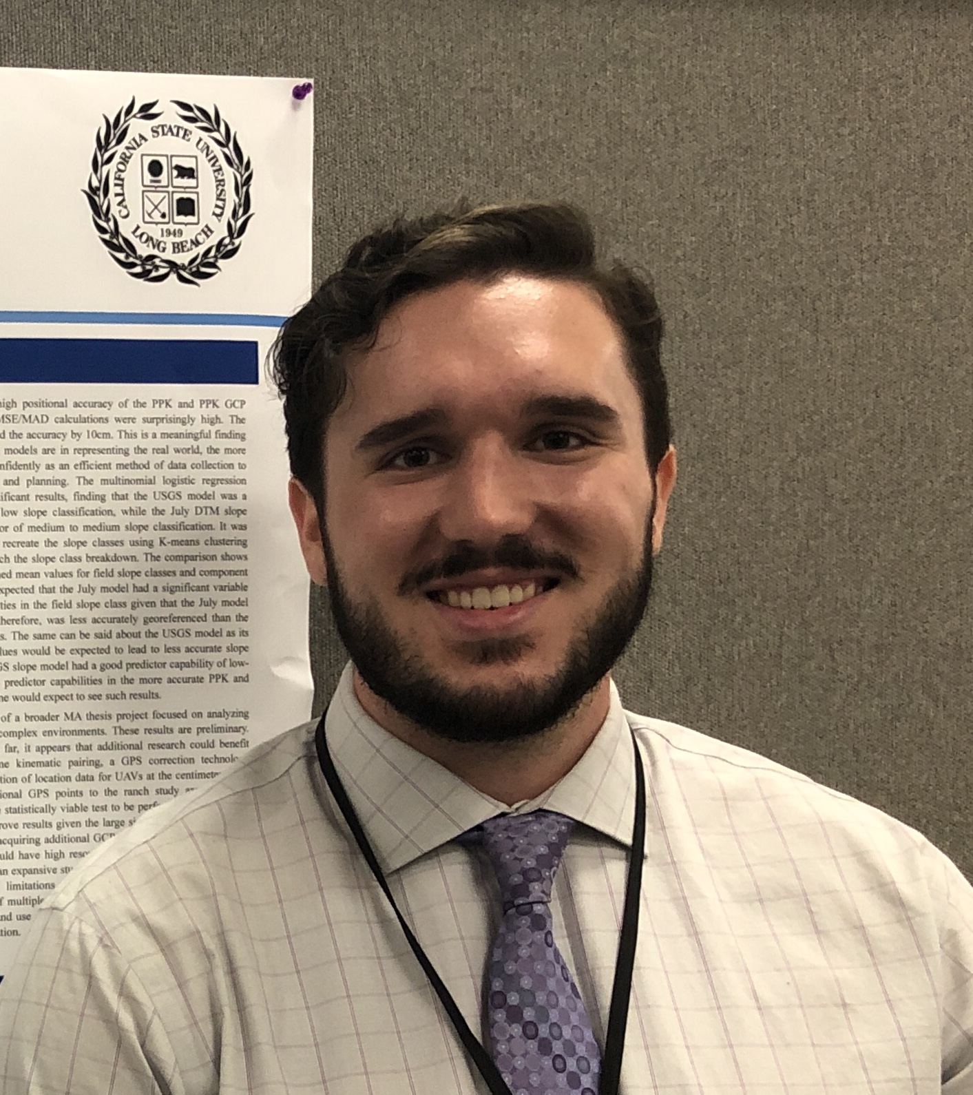
Cameron Mayer MA earns Best Masters Thesis Award!
Congratulations to Cameron Mayer for being selected as the College of Liberal Arts best Masters Thesis 2023! His thesis: New West Tension and Threatened Species Protection: The Western Joshua Tree Conservation Debate in the Morongo Basin, California was chaired by Dr. Monica Argandona, with Dr. Paul Laris and Dr. Lily House-Peters as readers.
The Best masters Thesis is a very competitive and prestigious award in the College of Liberal Arts. Geography has had four winners since 2018.
2023: Cameron Mayer – New West Tension and Threatened Species Protection: The Western Joshua Tree Conservation Debate in the Morongo Basin, California
2022: Julia Rose Dowell – Taking the Temperature of Climate Change in Long Beach: Concerns and Responses of Long Beach Residents Regarding Extreme Heat and Health Impacts
2021: Andrew Siwabessy – Geologic mapping of Terra Cimmeria, Mars, and resultant implications for the Martian plate tectonics hypotheses
2018: Rebecca Jacobs – Determinants of Fire Intensity in a Mesic West Africa Savanna: A Statistical Analysis of Fire Characteristics
CSULB Geography is featured in News of the CSU!

Alex Jung, CSULB Geography Dept.
The work of Geography Department students and faculty in our local community was recently featured in News of the CSU, the Chancellor’s Office Communications and Public Affairs team online media outlet. The April 13, 2022 CSU News story references an article that appeared in the Long Beach Post the previous day that describes how field data collected by students in Alex Jung’s Urban Planning classes will inform a new city plan to revitalize parts of central Long Beach. Jung, who is also the Director of Planning and Design with the nonprofit City Fabrick, is playing a lead role in a year-long public outreach which seeks to bring community to the table in the development of a new zoning plan for the area.
Research Assistant Opportunity in STEM Education
Dr. Linna Li and Dr. Hyowon Ban are currently working on a multidisciplinary research project titled “Improving STEM Education by Integrating Geospatial Technologies into K-8 Mathematics Curriculum.” The goals of this project are to design, develop, implement, and assess a set of instructional materials that integrate geospatial science and technologies into K-8 math curriculum to improve teachers’ knowledge of GIScience in STEM education and children’s mathematics learning abilities.
MSGISci Grad Anshu Pallav Is Designing Solutions for Climate Change
When Climathon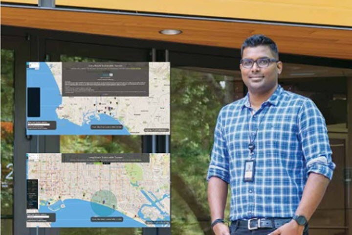 , a 24-hour global climate change challenge, came to Long Beach in October 2017, CSULB grad Anshu Pallav was more than ready to contribute. The annual event invites innovators in major cities worldwide to help humanity achieve zero fossil fuel emissions in the next 30 years. Having just earned his Master of Science in Geographic Information Science (MSGISci) degree, Pallav presented his idea for a local solution that stemmed directly from his experience in the program. For more information about Anshu’s contribution to this event, please see the CPIE News web site.
MSGISci Students Angelina Carballo and Alondra Garcia Place as Finalists in SCAG Competition
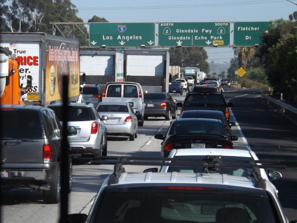
The Geography Department and the CSULB Center for International Trade and Transportation (CITT) are pleased to congratulate graduate students Angelina Carballo and Alondra Garcia whose GIS presentations earned them finalist ranking in the Southern California Association of Governments (SCAG) student showcase. The SCAG student showcase is hosted by SCAG’s annual Regional Conference General Assembly and exhibits sustainability GIS story maps selected through a competitive application process. Carballo’s presentation titled “Visualizing Sustainable Transportation Choices” placed second in the completion and seeks to teach high school students about geographic information systems (GIS) and sustainable methods to commute to school. Garcia’s presentation titled “The Role of GIS in Protecting Cultural Resources” focuses on the preservation of California’s archaeological sites as part of sustainable transportation planning.
At CITT, both Carballo and Garcia contribute their GIS skills to a number of research projects including the Southern Regional workforce Development Needs Assessment for the Transportation , the Supply Chain and Gap Analysis for the CSU Consortium, and the Caltrans Freight Academies. The 2020 student showcase marks the fourth year in a row in which a CITT research assistant has been named a finalist and the third year in a row in which a research assistant has had a top-three placement.
CSULB Geography Department releases Statement of Solidarity
The Geography Department at CSULB is committed to addressing anti-Blackness and all forms of racism in our community. As a positive step toward this goal, we have released a statement of solidarity with Black Students, Staff, Faculty, and Communities in the wake of the recent protests across our country and around the world. It is our hope that our efforts, together with a similar commitment expressed by so many other departments within our campus community, will help to bring an end to racism and police violence in our society.
Geography professors Linna Li and Hyowon Ban awarded ORSP Multidisciplinary Research Grant
Drs. Linna Li and Hyowon Ban, collaborating with Dr. Shuhua An and Dr. Jyotsna Pattnaik in the College of Education, were awarded an ORSP Multidisciplinary research grant to work on a project titled “Improving STEM Education by Integrating Geospatial Technologies into K-8 Mathematics Curriculum.” With the guidance and coaching of the faculty research team, preservice teachers will develop age appropriate geospatial technology (GT) integrated activity modules for the K-8 mathematics curriculum and will test them out in selected elementary classrooms in Los Angeles County. A mixed-method design will be adopted to assess the change in preservice teachers’ knowledge of GT integrated math education and the K-8 students’ math learning skills before and after the adoption of the modules. This will be one of the first studies to utilize geospatial technologies as a major media to teach computational thinking and mathematics in K-8 classrooms in a fun, visual, and meaningful learning environment. Funding will be available for graduate students with skills in GIScience, data collection, data analysis, surveys, and focus group interviews. If you are interested, please contact Dr. Linna Li (linna.li@csulb.edu) or Dr. Hyowon Ban (Hyowon.ban@csulb.edu).
Geography Grad Lands Position at Bay Area Precision Ag Firm
 CSULB Geography is proud to announce that another one of our graduates is putting their degree to work. Last week, news arrived that recent graduate Duncan MacIntosh accepted a position as GIS/Remote Sensing Analyst with Ceres Imaging in Oakland, California. MacIntosh, who recently relocated to the West Coast from his home state of Rhode Island, received his MA in Geography in July 2019 and promptly began his search for a career in the field of his specialty, that being Remote Sensing and Geospatial Techniques. In recent email correspondence, Duncan admitted that his decision to accept the position at Ceres came only after a good bit of consideration, but it is now evident that he is quite satisfied with his decision. “One of the things that the company liked about my resume was all the drone work” said MacIntosh, who further indicated that the firm is looking into using drone-mounted sensors to generate custom aerial imagery for precision agricultural applications. Once settled into his position, he expects that his day-to-day duties will include performing quality assessments and multispectral analysis using aerial imagery of agricultural land across the U.S. West Coast and Mid-West, as well as Australia. The results of these analyses will form the basis of recommendations that will be provided to growers to assess crop stress, pest activity, overall plant health, and irrigation application.
CSULB Geography’s River Ridge Ranch Project Featured in Drone Blog
Current research being conducted by CSULB’s Geography and Environmental Science and Policy departments took center stage in the current issue of Waypoint, a web log created and managed by leading fixed-wing drone manufacturer senseFly. In this issue, Waypoint interviewed our GIS Lab Manager and drone pilot Scott Winslow who provided an overview of how our students and faculty are leveraging low-altitude remote sensing to benefit ecological research at River Ridge Ranch in the western Sierra Nevada foothills. To learn more about how our department is taking to the sky to generate high-resolution imagery products for use in photogrammetry and automated feature extraction, take a look at senseFly’s blog post titled How Fixed-Wing UAVs Improved GIS Mapping at CSU.