Day 3: Who would’ve thought that a fire hydrant could model?
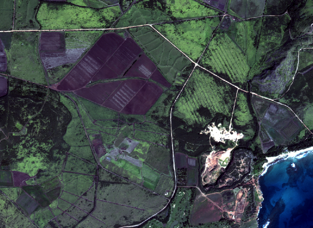
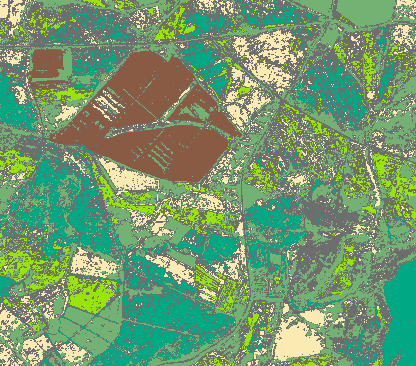
June 13, 2012Today was an incredibly fast paced day with a lot of labs and exercises. 9am brought a hydrology lecture by Matt Becker. His lecture focused on some of the topics that may be covered during the field portion in Kauai. One of the graduate TAs gave a lecture on eCognition, a software platform designed to extract object information from an image. The goal of this lecture was to create a map of Kauai by converting a remotely sensed image into a map based on geographic features. I’m pretty sure we were just supposed to watch and absorb the information from this lecture, but Kate and I were able to follow along with a little frantic clicking-around-on-random-icons-until-we-figured-out-how-to-do-it.
Before (remotely sensed image):
After (map of features):
After lunch, Dr. Wechsler gave a basic lecture on raster data and interpolation in grid analyses. This was a great introduction to the exercises that came next. Using Photoscan, I created a composite image (orthophoto) of a bunch of little images in Easter Island) The orthophoto was then converted into a grid file using ArcGIS. During the ArcGIS analysis, I created contour lines, calculated hillshade to show a sense of depth in the image, and calculated percent slope and aspect. I could also interpolate the grid using various methods. Measuring these grid DEMs (digital elevation models) can certainly help with creating stream profiles and ground-base topography maps in Kauai.
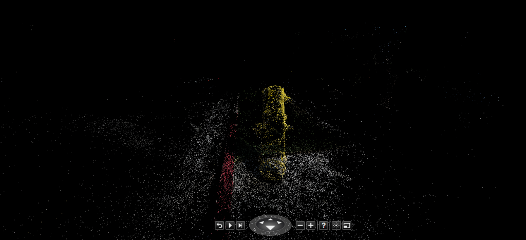
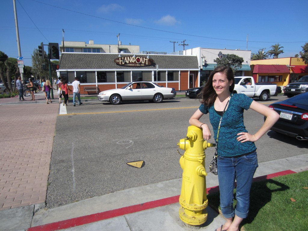
The final activity of the day was to go off campus and take tons of photos of an object so we could create our own photosynth! A few of us drove down to Seal Beach to search for some “attractive models.” I finally decided on a lovely fire hydrant as my model for my photosynth. You can check my 3D photosynth out by clicking this link! You can view my 3D fire hydrant by click the navigation arrows beneath the photos. If you click on the second to last icon on the bottom of the image, you can navigate around the point cloud of the hydrant to see a 3D collection of points! Obviously, the topography of a fire hydrant may not be the most useful object to photosynth, but these methods could definitely apply to some larger scale places in Kauai.