Day Three
June 13, 2012Today was super fast-paced, but surprisingly interesting.
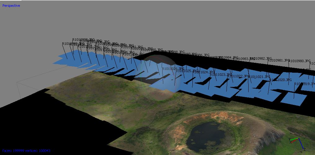
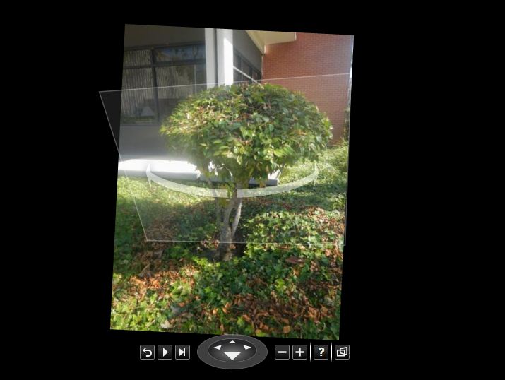
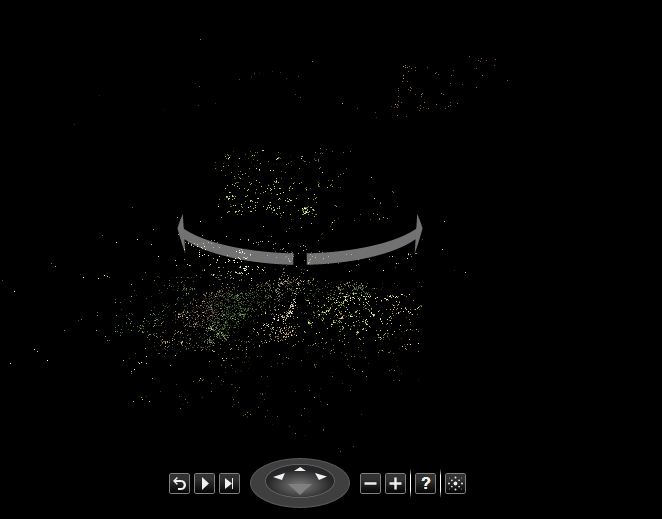
Starting at 9 AM, Dr. Matt Becker talked about the hydrology of the Hawaiian Islands, specifically that of Kauai. He focused primarily on the groundwater water discharge into coastal waters and then explained the upcoming hydrology project. The geology of the area was still fresh in my mind from my spring courses, but I was not aware of the nutrient discharge associated with groundwater. So that was pretty interesting. Right after, Dr. Wechsler started her lecture on raster models. I needed a refresher since it has been a while since I worked on raster. Luckily, most of it was familiar! This lecture was then postponed for a lecture by our TA, Briton. He demoed us through a new program, one of which I have never even heard, called eCognition. It basically extracts and generates data from an image. From there, a short break for lunch and back to lecture. Dr. Wechsler then took over and walked us through using Photoscan (a new program to me), ArcMap (one that I have used extensively), and Photosynth (a new program to me). We used the said programs to make raster grids. From there, Dr. Wechsler assigned us two exercises. One of the exercises had us take lots of pictures of an object of our choosing to later analyze in Photosynth. I chose a bush surrounded by ivy and ended up taking 66 photos, which ended up not being enough to properly see the objects. The products of the exercises (so far) are below. Enjoy!